The 3D rendering of facilities gives visitors concrete information regarding where to park and which entrances to use as they arrive on your campus. The details of the rendering provide the necessary architectural and visual cues of the campus so visitors can navigate more easily and have their needs met more readily.
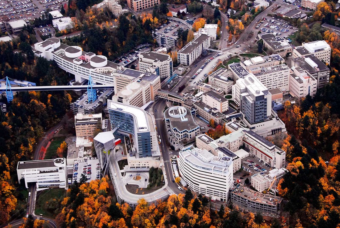
ORIGINAL AERIAL PHOTOGRAPH MAP RENDERING of SAME PHOTOGRAPH
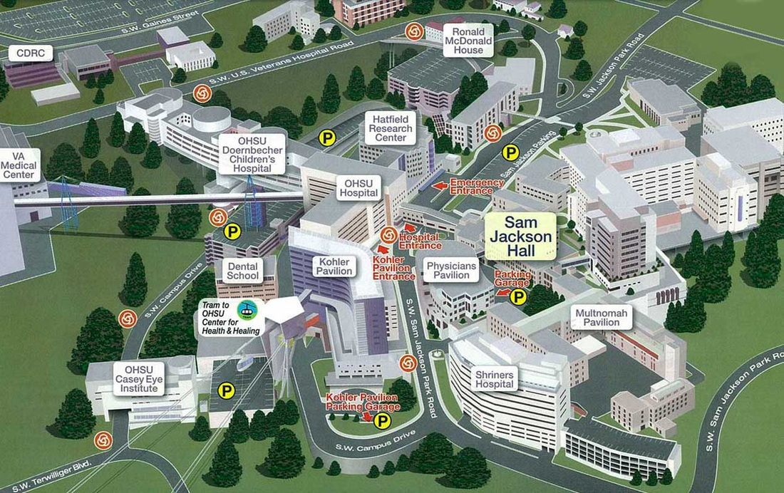
FINISHED MAP PROJECT
DIGITAL ENHANCEMENTS: We have to tools to remove items (Cars, Dumpsters, People, etc), color enhancements
(B&W, special effects), Addition of text, cropping and more!
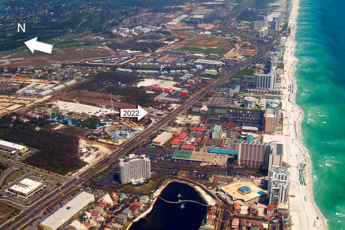
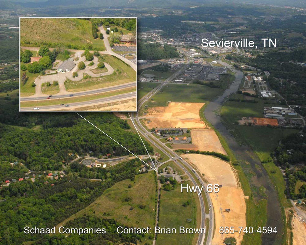
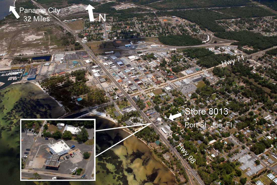
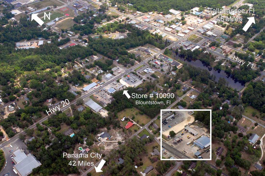
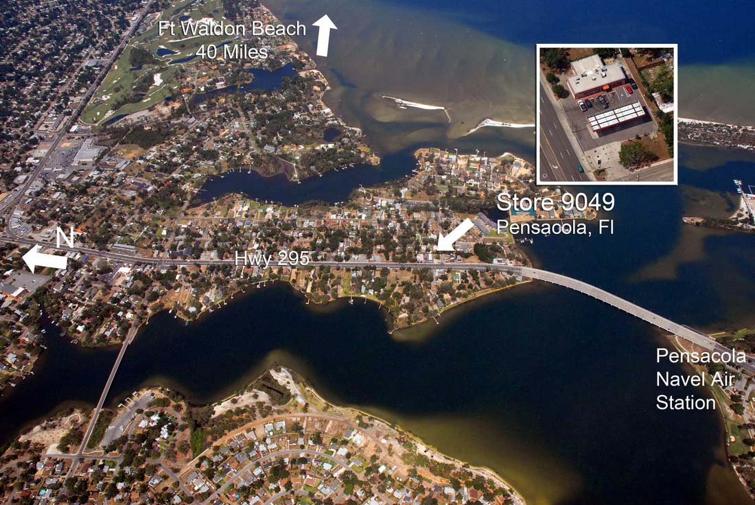
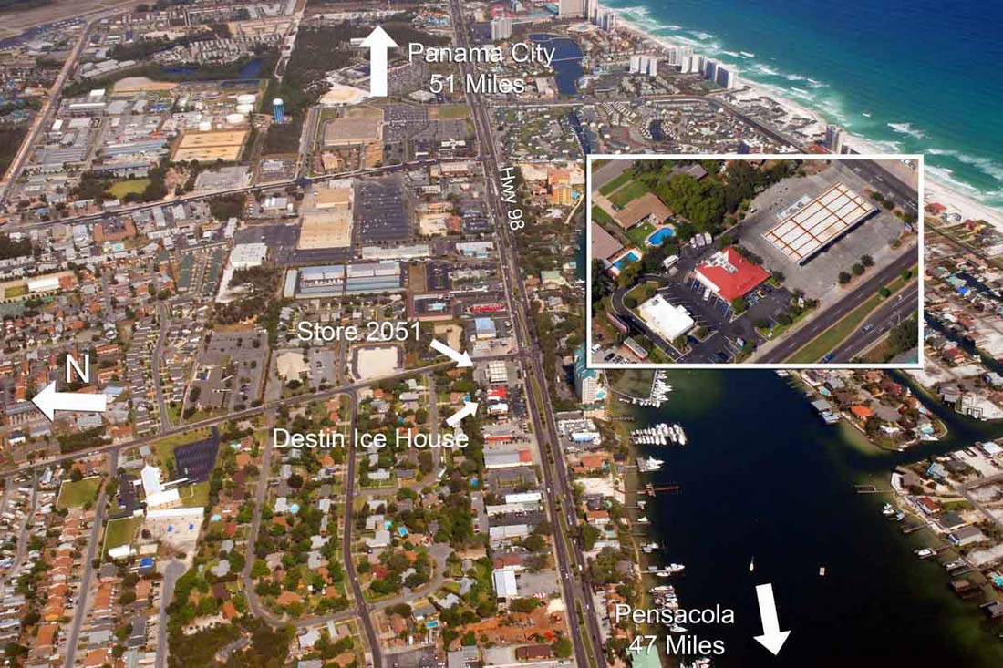
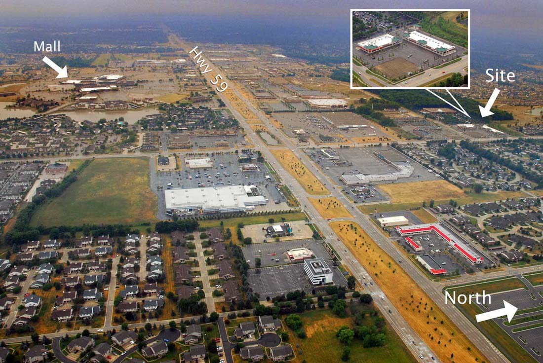
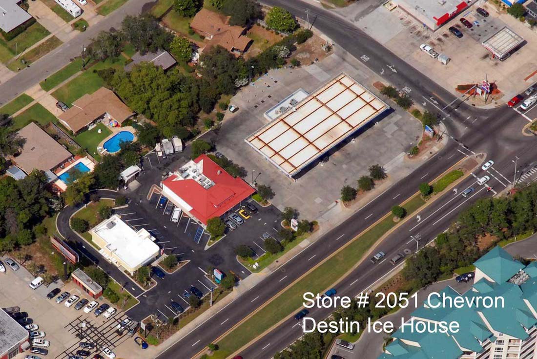
FREE Basic graphics applied to images below. FREE